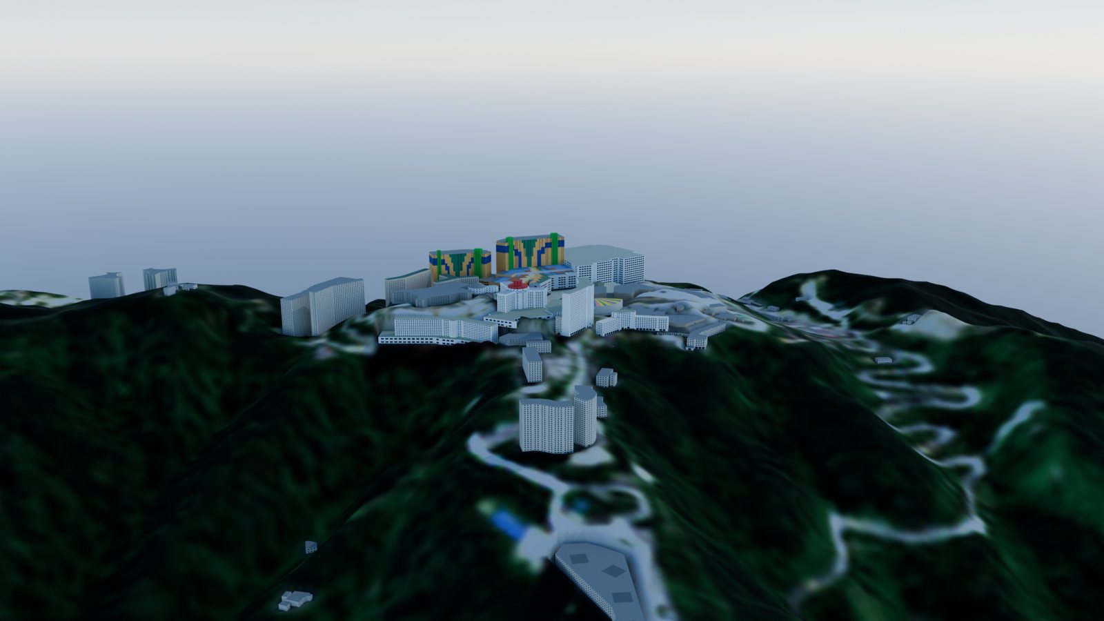
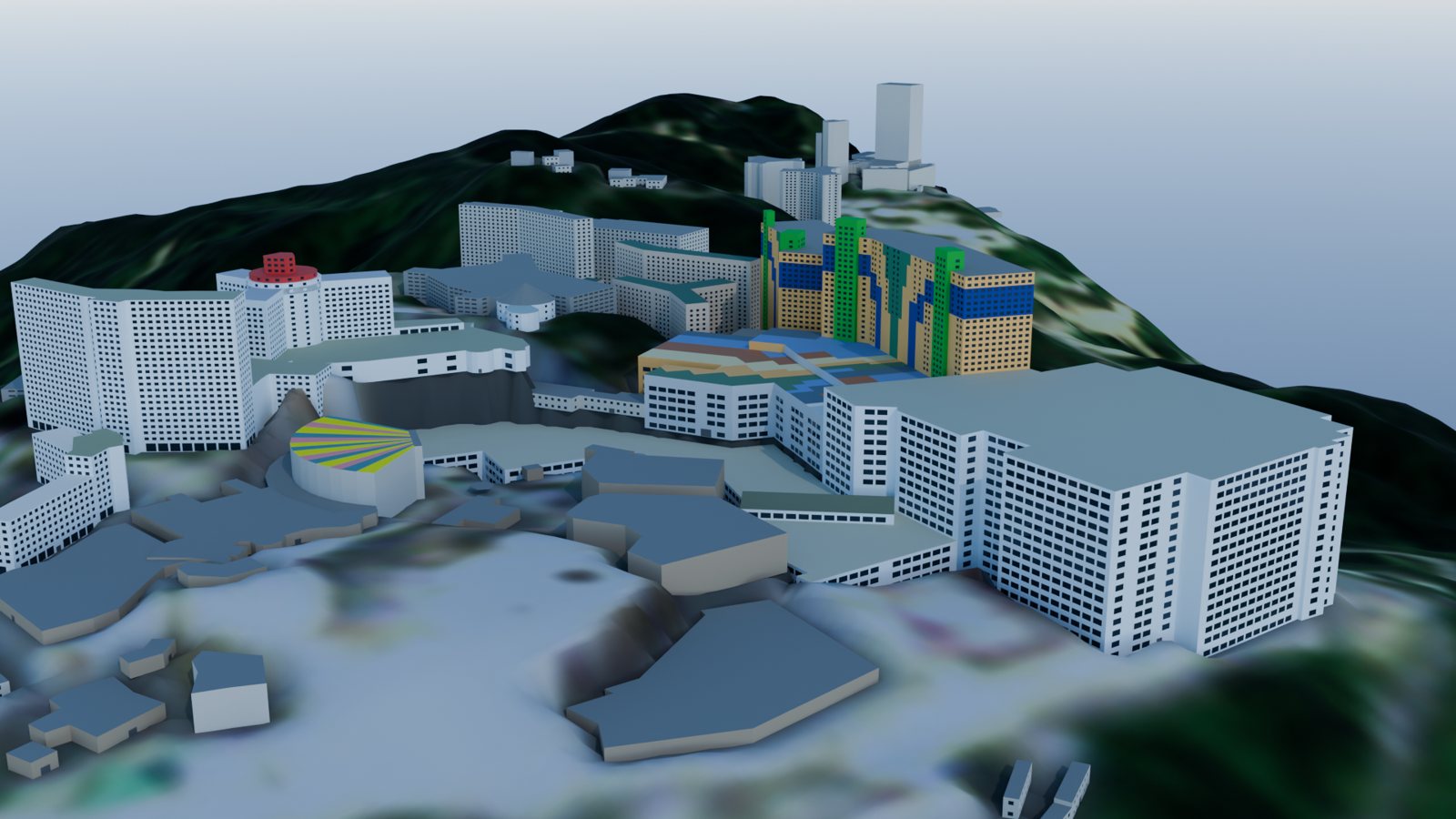
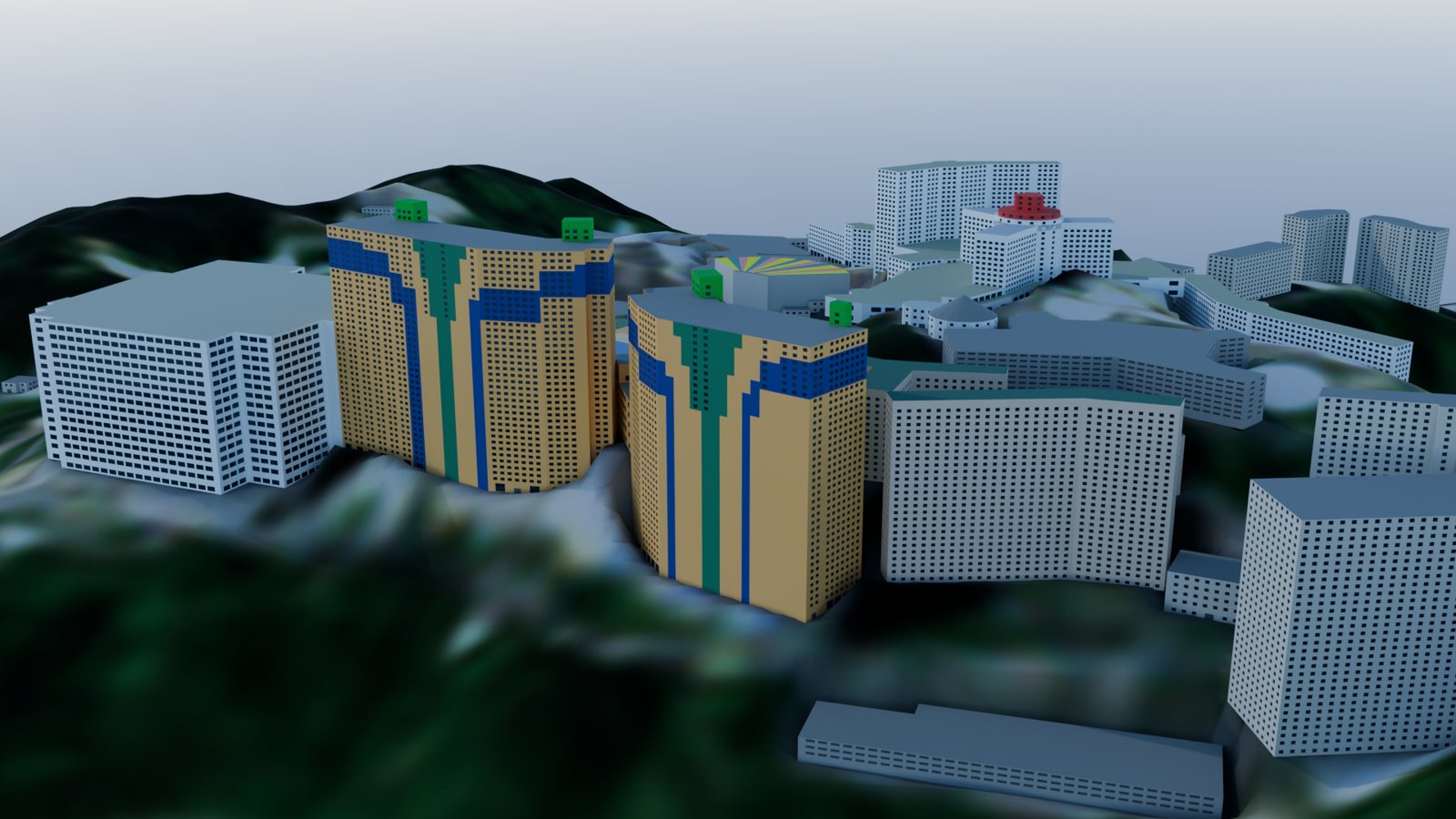
Walk the resort, fly the ridges, or drive the 10.5 km climb from the Gohtong toll gantry to SkyAvenue.
Drag to look · WASD to move · F fly · T 1st/3rd person · G say hello · ` metrics
SkyWorlds tour
Genting Highlands
Hilltop Walkthrough
Easting
–
Northing
–
Lat, Lon
–
Elevation
–
Heading
–
Mode
Walk
Summit to valley
Drone-inspired cloud-sea panorama of the hilltop resort.
Controls and limits
WASD or arrows to move, drag to look, Shift to run.
Fly mode: E up, Q down. F toggles fly, V toggles the Source view. Walking, you are seen from behind: T switches first/third person; click someone nearby or press G beside them to say hello. ` toggles the developer metrics panel.
Heights come from mapped storey counts; ground pads, windows and doors are mostly assumed. Not a survey.
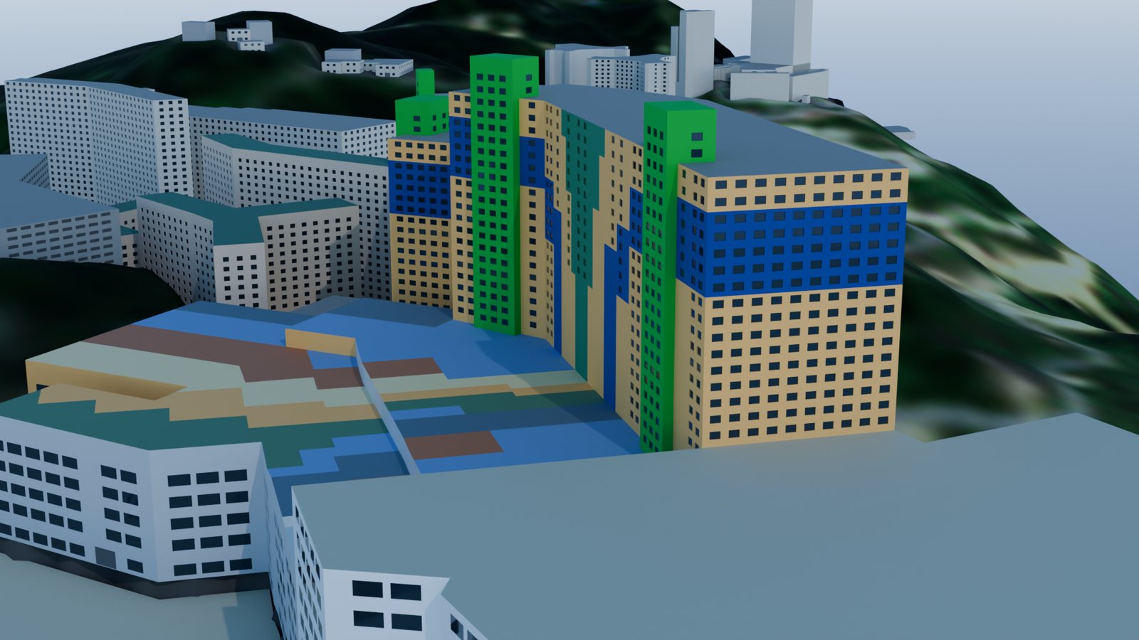
Textures are generic CC0 materials. Colours on First World (salmon/yellow halves), Arena of Stars, Resort Hotel, the fire station and Kayangan (maroon panels, salmon stair towers) are measured from dated 2022–2023 photos; pattern positions are approximate and isolated in Source view. Elsewhere colours are mapped or default. Trees are illustrative.
OpenStreetMap contributors (ODbL) · Copernicus DEM GLO-30 · Copernicus Sentinel data · Poly Haven (CC0) · Photo colours: *angys*, Chongkian (Wikimedia Commons, CC BY-SA 4.0)
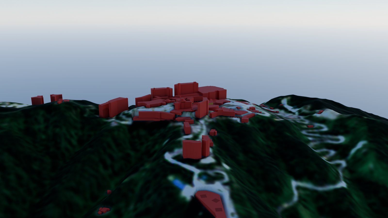
Lighting, shadows, facade edges, the cloud sea, distant ridges, rooftop equipment and the Genting Grand crown form the cinematic experience. Source view isolates the mapped base model. Viewpoint names follow the handoff's hotel-name reconciliation.
In your sights
Look at a building
N
–
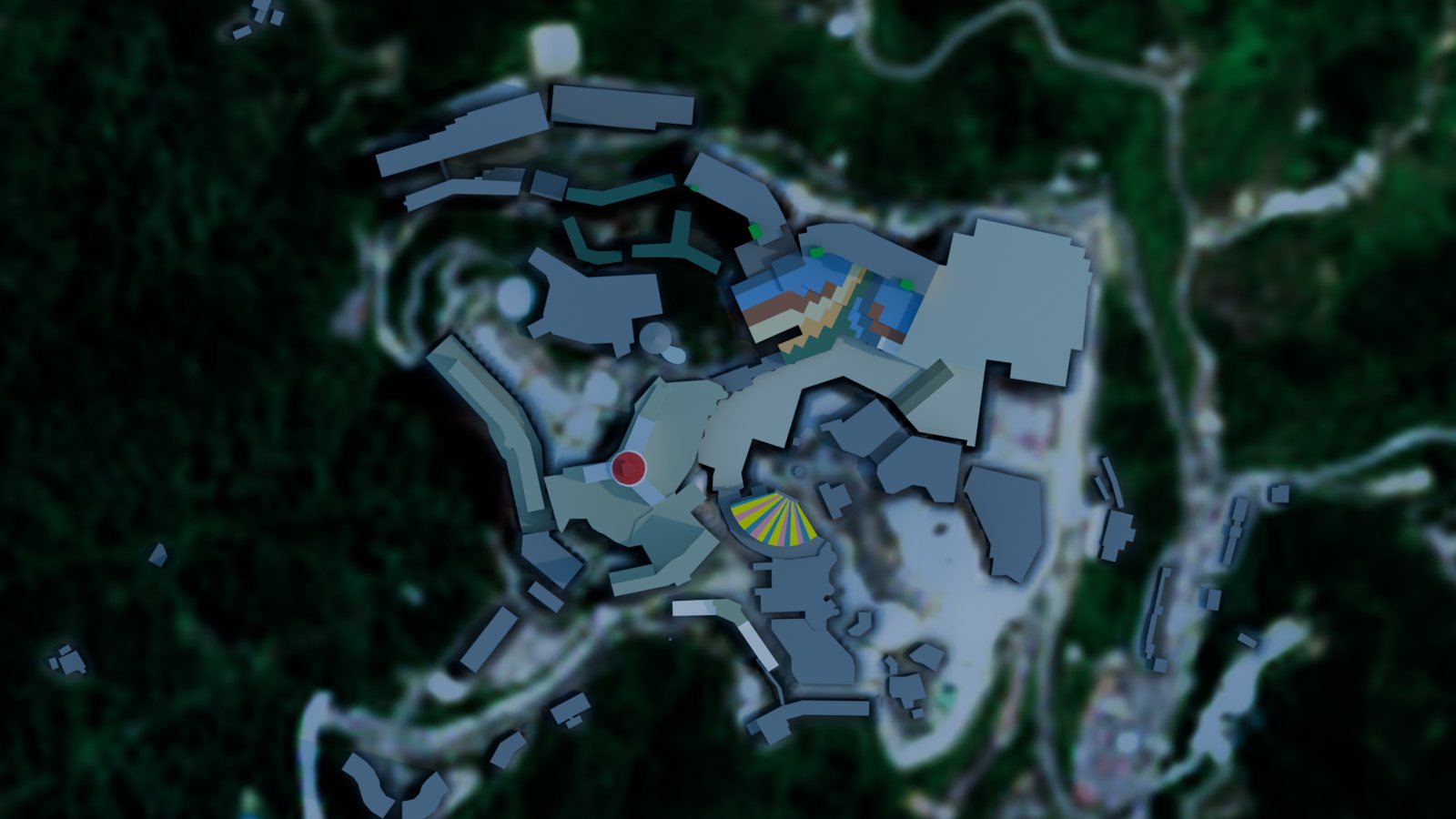
Plan of the model · not a survey
Cinematic world · inferred detail and drone-inspired atmosphere